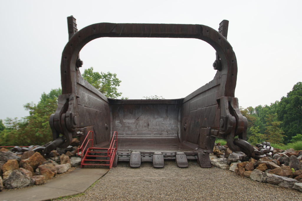
Having been properly “bricked,” the next checkpoint was the Big Muskie Bucket. Not sure what to expect, and living in an area where fishing is a popular recreational activity (for others, not myself), I had visions of a large bucket for fish (named after the muskie, aka muskellunge).
After all, if the Chum Bucket in Bikini Bottom is nautical-related, how could you miss with a muskie bucket?
I’ve mined that sea-going theme enough.
The Muskie Bucket is a 220 cubic yard, 240 ton bucket used in the largest coal mining dragline ever built, assembled over the course of more than two years on site at the Muskingum Mine. The bucket was dragged along the ground to strip away soil and rocks to get at the high-sulfur coal beneath. It operated between 1969 and 1991, until it became too expensive to operate, and demand for the coal had declined.
The entire dragline was disassembled and recycled, but the bucket remained on site and is part of the Miner’s Memorial Park inside Jesse Owens State Park. Note the size of the steps for scale.
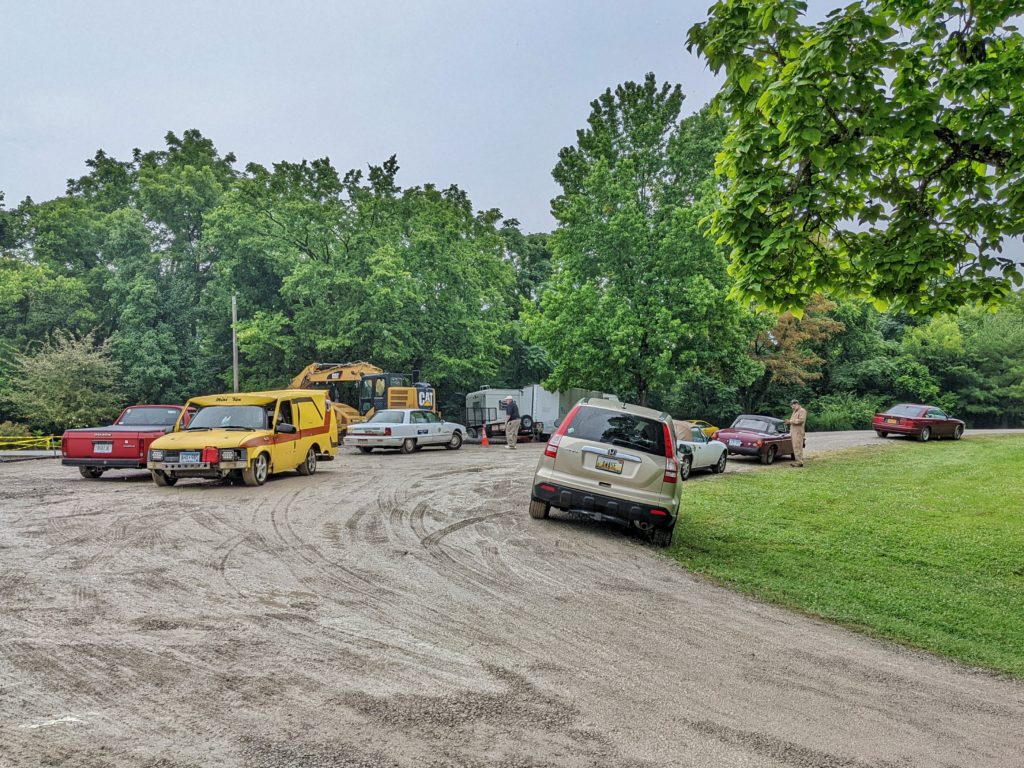
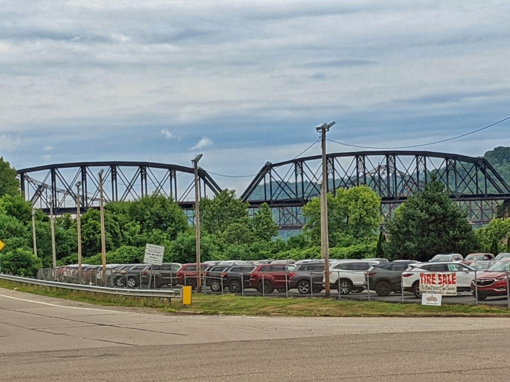
The parking lot at the Bucket was somewhat soggy by this time.
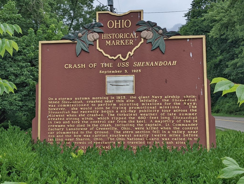
Our “Find It” mystery of the day involved finding a marker on the way that marked a Naval wreck, which was also the “world’s first ZR-1 crash.” Car guys probably think of the Corvette ZR-1 but instead, this ZR-1 Zeppelin was the first rigid airship built in the US, the USS Shenandoah. The Shenandoah encountered storms and turbulence, broke apart, and crashed at three sites in Noble County, Ohio. There are a handful of markers in the area, this one located on Ohio Rte. 821 (Marietta Rd.) in the town of Ava.
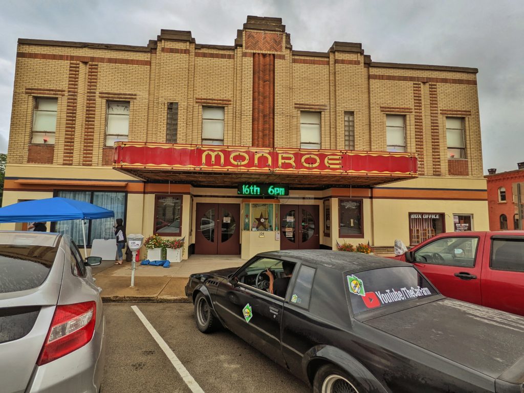
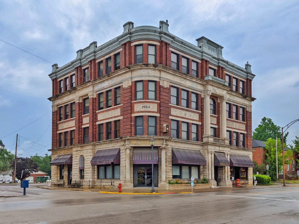
Woodsfield, Ohio would be our next stop–the historic Monroe Theater, originally opened in 1939, closed in 1977, and reopened in 2019 as a non-profit arts theater. There were some other historic buildings at the same intersection as well.
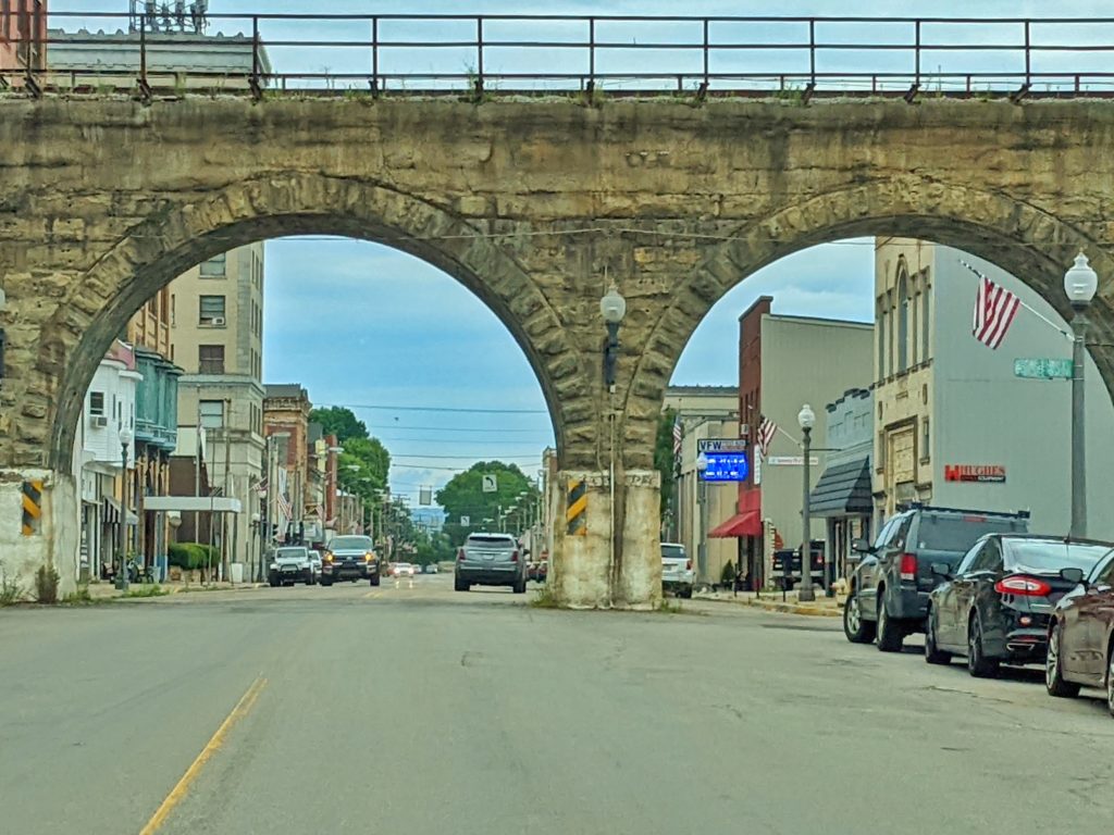
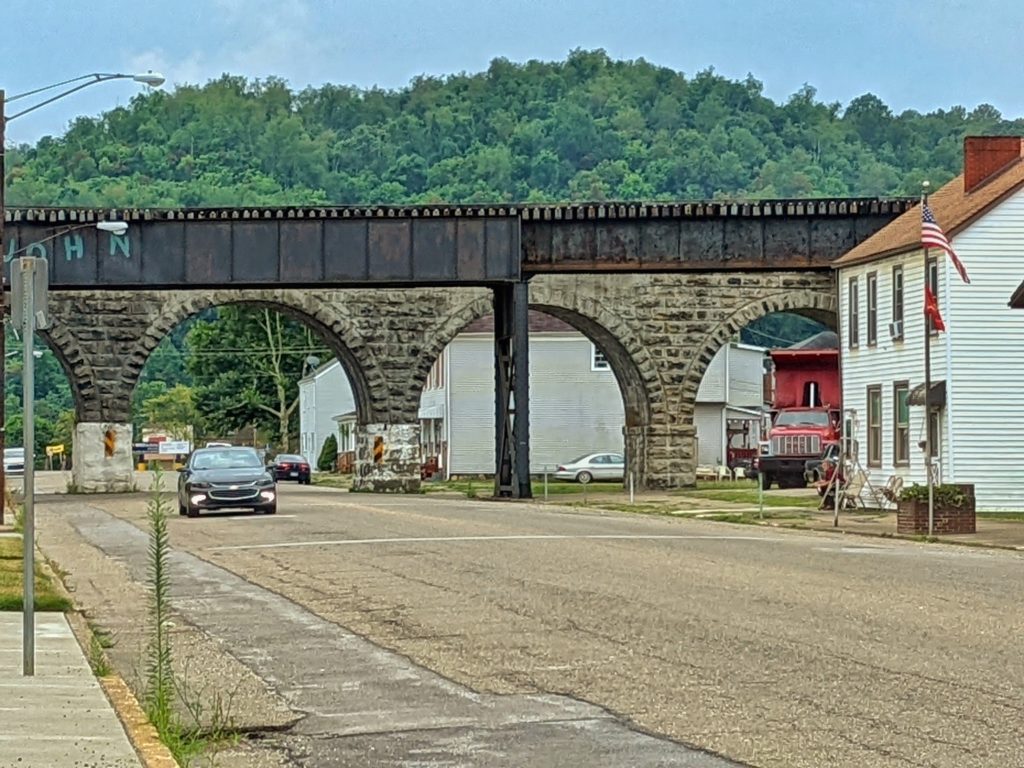
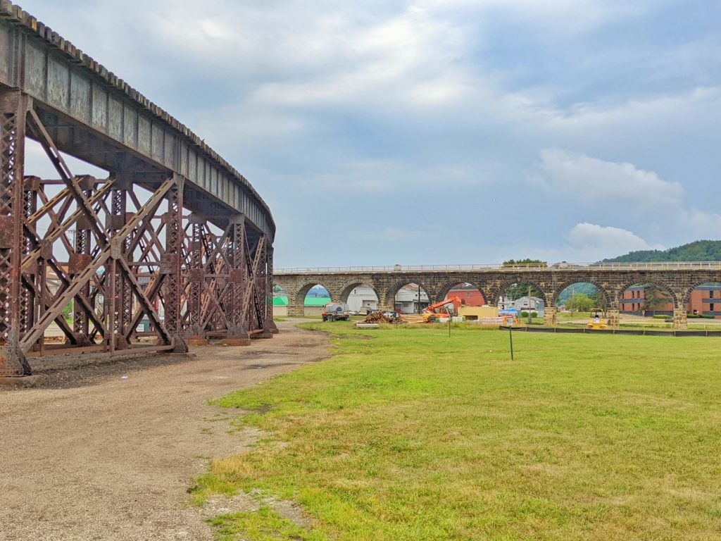
Our final Ohio checkpoint was in Bellaire, to locate the Great Stone Viaduct. Driving through town, it is hard to miss, as it crosses the Ohio River and winds through town. The viaduct, built in 1871, was originally comprised of 43 stone arches. The CSX railroad abandoned a 20-arch section which was later purchased for preservation, development and education. Parts of the viaduct still remain in use today. The steel trestles cross the river, leading to the arched viaduct through town.
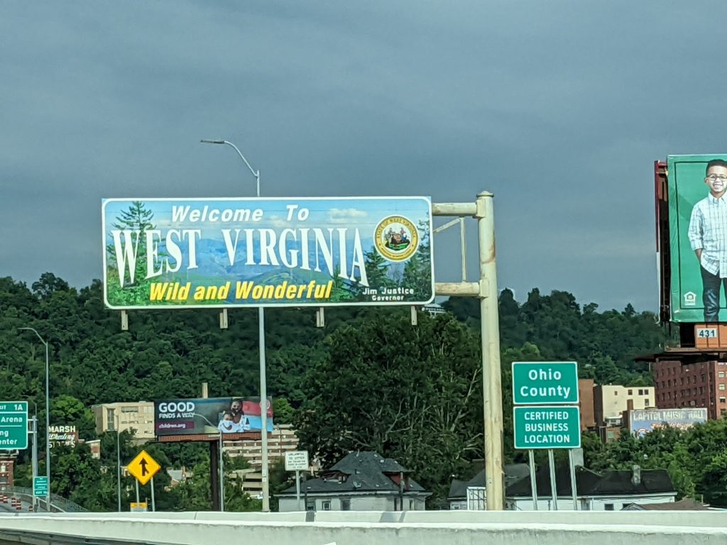
Across the Ohio River is that tiny piece of West Virginia that extends north to separate Ohio and Pennsylvania, and Wheeling sits on the other side of the water from Bedford.
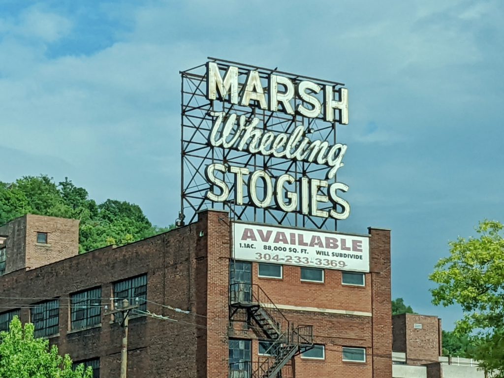
You’re dating yourself if you remember “stogies”…
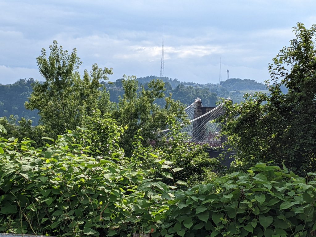
Our first West Virginia checkpoint was the Wheeling Suspension Bridge. The bridge was constructed in the mid 1800s, and rebuilt/reinforced multiple times until its closure in 2019 (due to drivers ignoring the bridge’s two ton weight limit). Lacking a suitable vantage point amid traffic and a lot of Wheeling road construction, a quick pull-off into a nearby parking lot enabled a somewhat leafy view of the bridge.
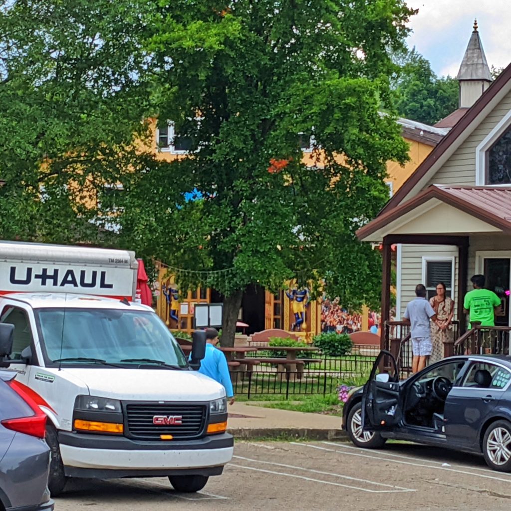
Of all the places to expect as a checkpoint, a Hare Krishna temple was not among them! This was the New Vrindaban temple. The road to the temple, however, is through the hills of West Virginia, and they are not well kept at all. Asphalt, piled with decades of cold patch upon cold patch, made for a rough ride, and the width of the roadway was not all that generous either, having to partly pull off to the side if another vehicle was approaching.
While I found the area of the New Vrindaban temple, I chose not to intrude, and grabbed a rather poor photo through the trees.
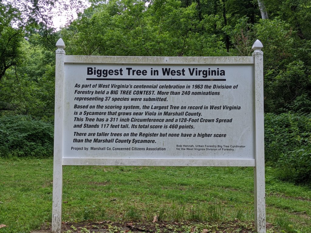
What goes up must come down, and there was no way to avoid more of the same mountainous roads, as the next stop on the list was to locate the Biggest Tree in West Virginia. Out of a gazillion trees, who knew?? Apparently, someone took the time to set up a contest, and henceforth came the results.
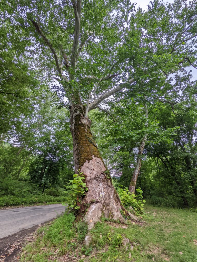
And in case you were wondering, here is the tree itself.
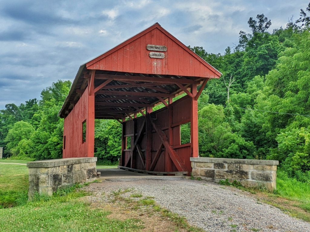
Lacking a cell tower signal and with spotty satellite access given the heavy cover of trees, I had to pull out the tablet for an alternate navigation app, which got me far enough along that I could resume using Google’s navigation for better directions to the next loosely-defined checkpoint–find one of Washington County, Pennsylvania’s covered bridges.
It turns out that the Brownlee Covered Bridge was just a stone’s throw from I-70, meaning I could get this final checkpoint off of my list and continue to the evening in Pittsburgh without any of the twisting roads we had spent the most of the day driving on.
There was a suggested get-together at Klavon’s Ice Cream Parlor in Pittsburgh but upon arriving, not many had put in appearance by the time I got there, so I dispatched myself to the hotel for the night to plot out the next day’s route…and grab more Mexican food for dinner at the Tepache Mexican Kitchen & Bar.
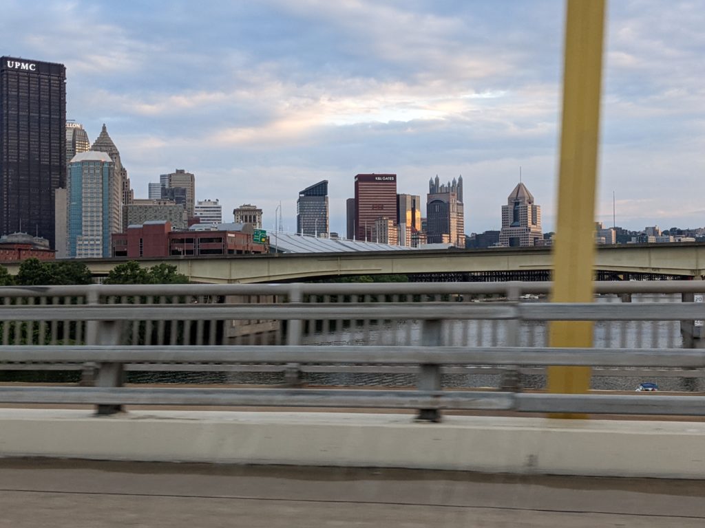
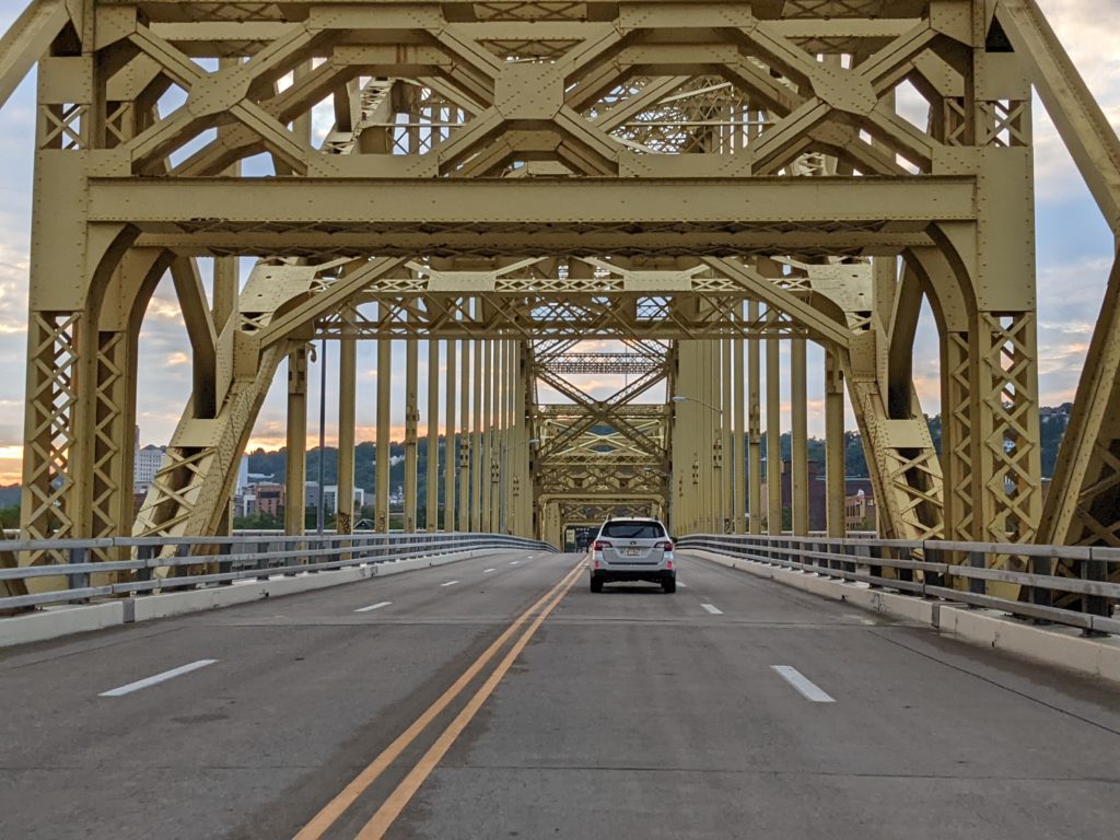
I was too tired to get photos of Pittsburgh…so this is all ya gonna git!