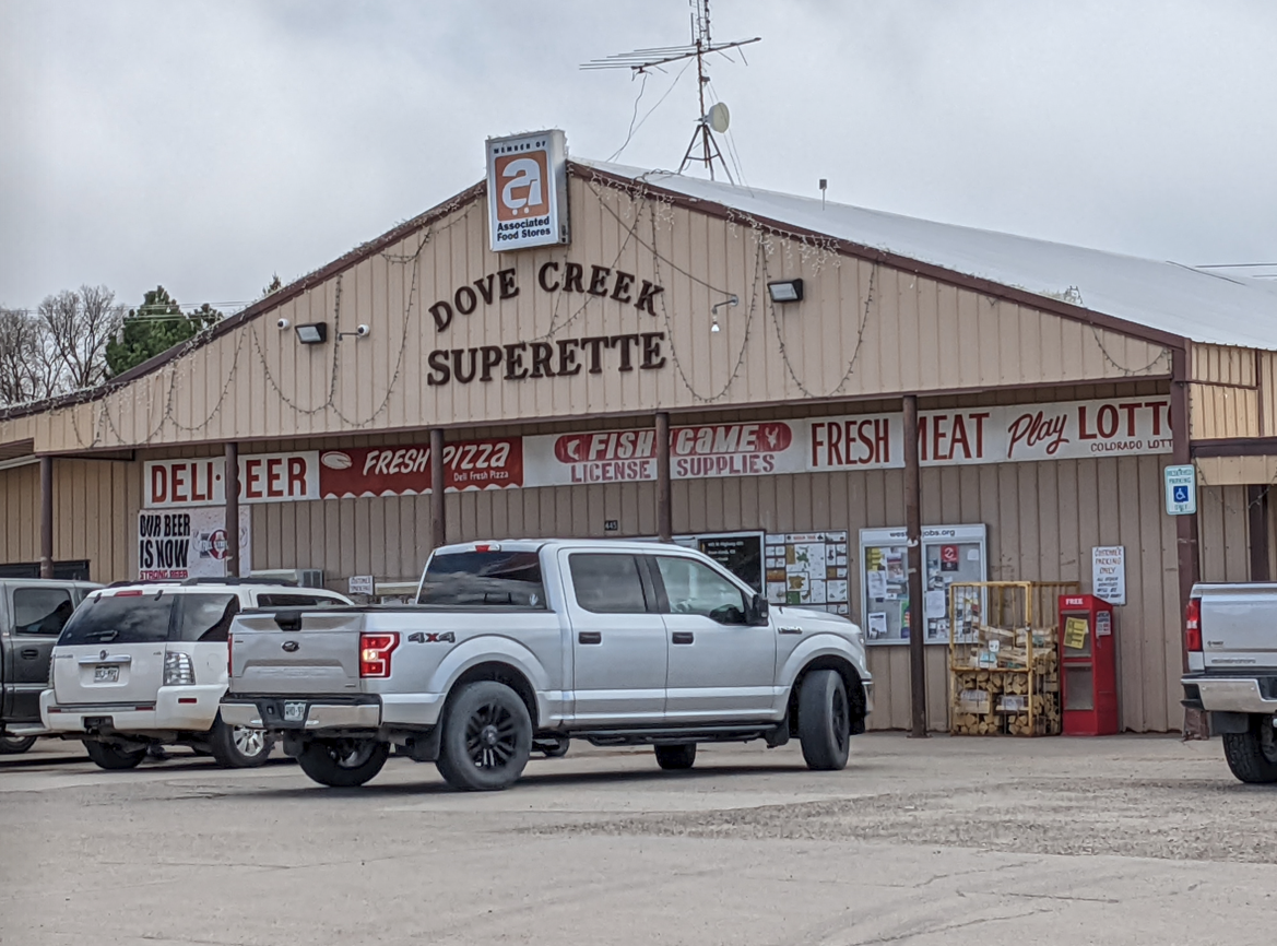
After stopping at the Loyds Lake checkpoint, we would turn east onto US-491 and return to Colorado. Dove Creek presented us with our next checkpoint, the Dove Creek Superette.
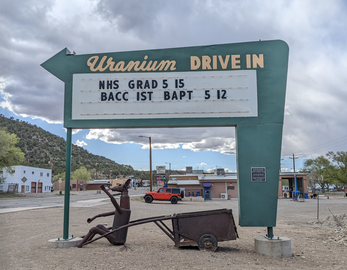
Our next checkpoint via CO-141 was 62 miles away, apparently around Naturita, CO. Our goal was to find the Uranium Drive-In. Only, there’s a catch to it.
Decades ago, the Uranium Drive-In was located in the town north of Naturita–Nucla, CO. The sign was removed and restored but due to Nucla’s zoning laws, the sign could not be reinstalled at its original location. Instead, it was reassembled in Naturita, CO, on the property of Blondie’s Drive-In, a café and ice cream stand.
So, the goal was to find the original location of the theater. Since there are no historical markers, the best I could find in Nucla was this:
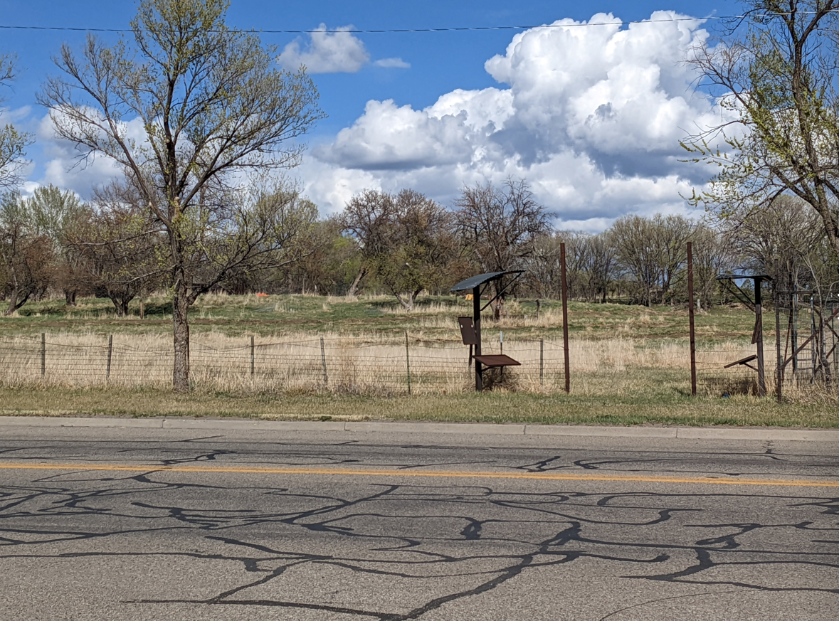
Based on some research from Cinema Treasures that documented old movie theaters and drive-ins, this appeared to be in about the location the drive-in would have been located. Perhaps those two structures flanked the driveway to the drive-in? Otherwise, it is a big, open field with a construction company occupying land to the left of this location.
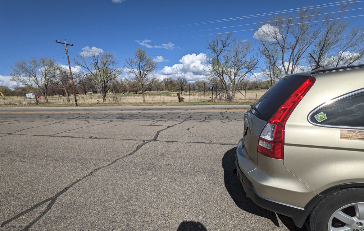
The Lemons Rally Find It spot was close to this location–the Uravan Bridge, an abandoned bridge spanning the San Miguel river which used to be the route to a uranium mine in the area. (This clue was tied into the Trinity Site from yesterday.) The bridge is located at 38.385, -108.758, along CO-141. Unfortunately, my navigation directions were attempting to lead me off into some screwy direction that was a 90 minute drive, which clearly wasn’t right, so becoming a bit disgusted by that point, I decided to head straight back to Moab, so I wouldn’t roll into town too late in the day. (As it turns out, the bridge was 17.5 miles/22 minutes from Blondie’s Drive-In–not far at all, but still too much of a stretch for one day.)
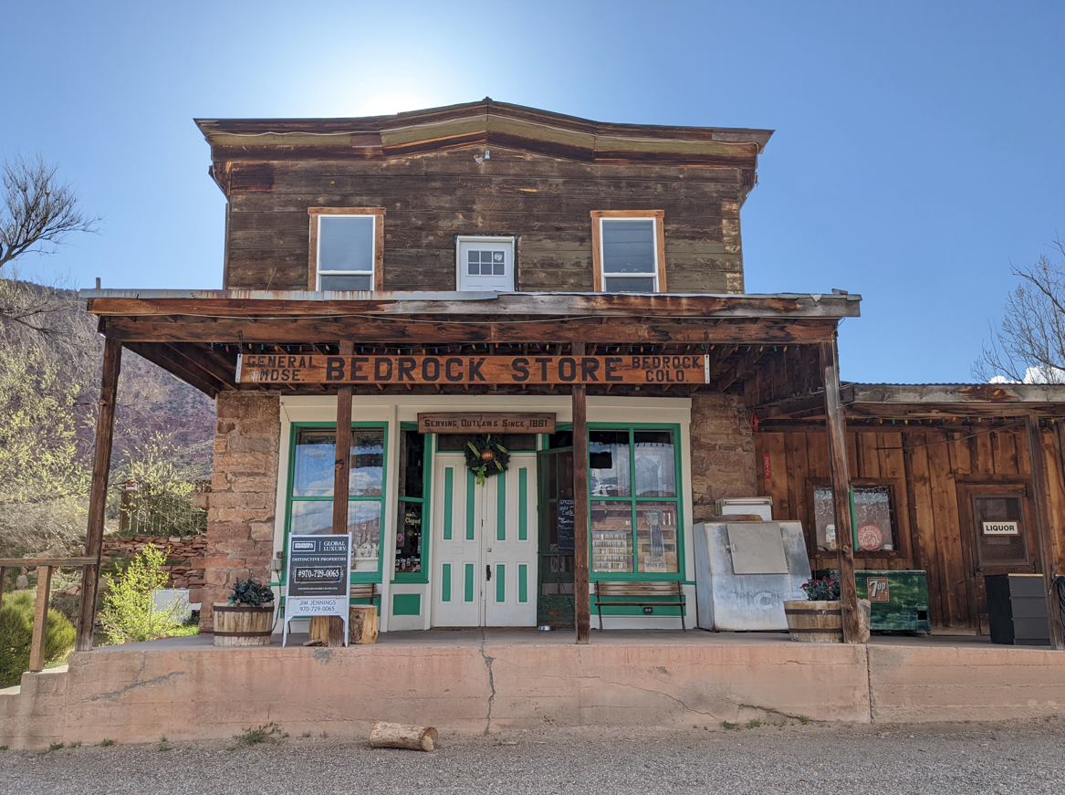
The return route to Moab was CO-90/UT-46 (the designation changes at the state border). Along the way was another checkpoint–the Bedrock Store, located in Bedrock, CO.
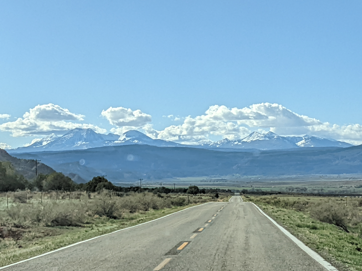
Ahead of me on UT-46 were the La Sal Mountains.
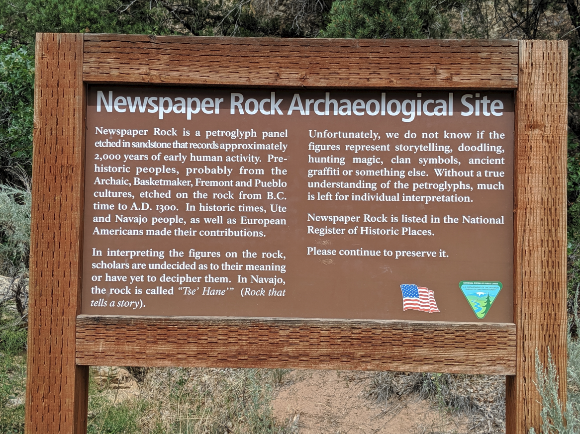
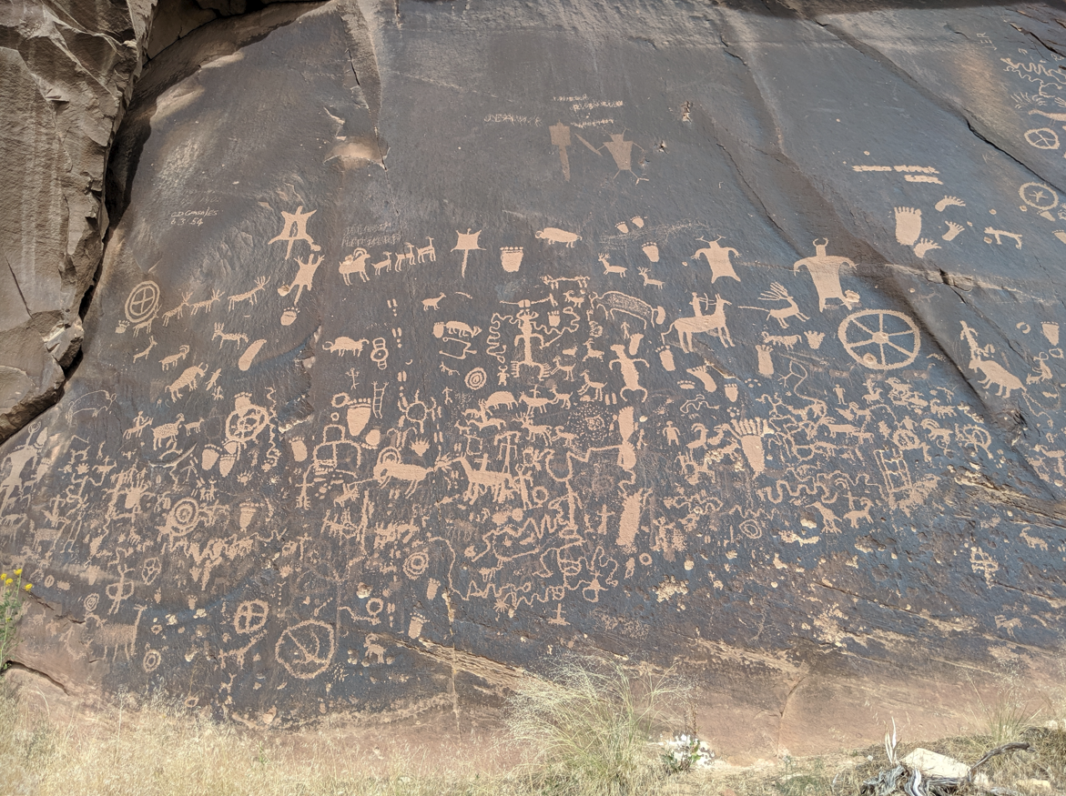
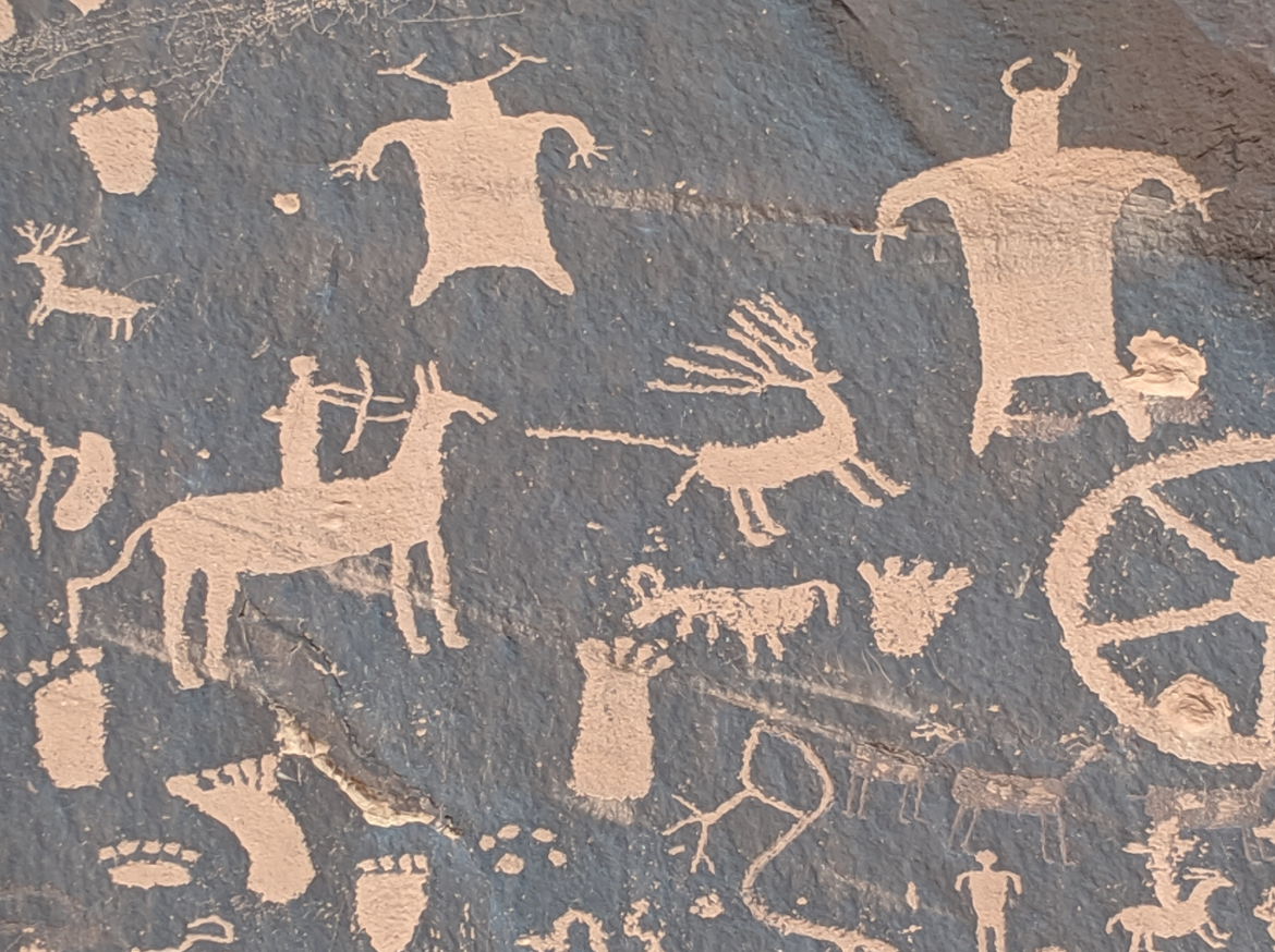
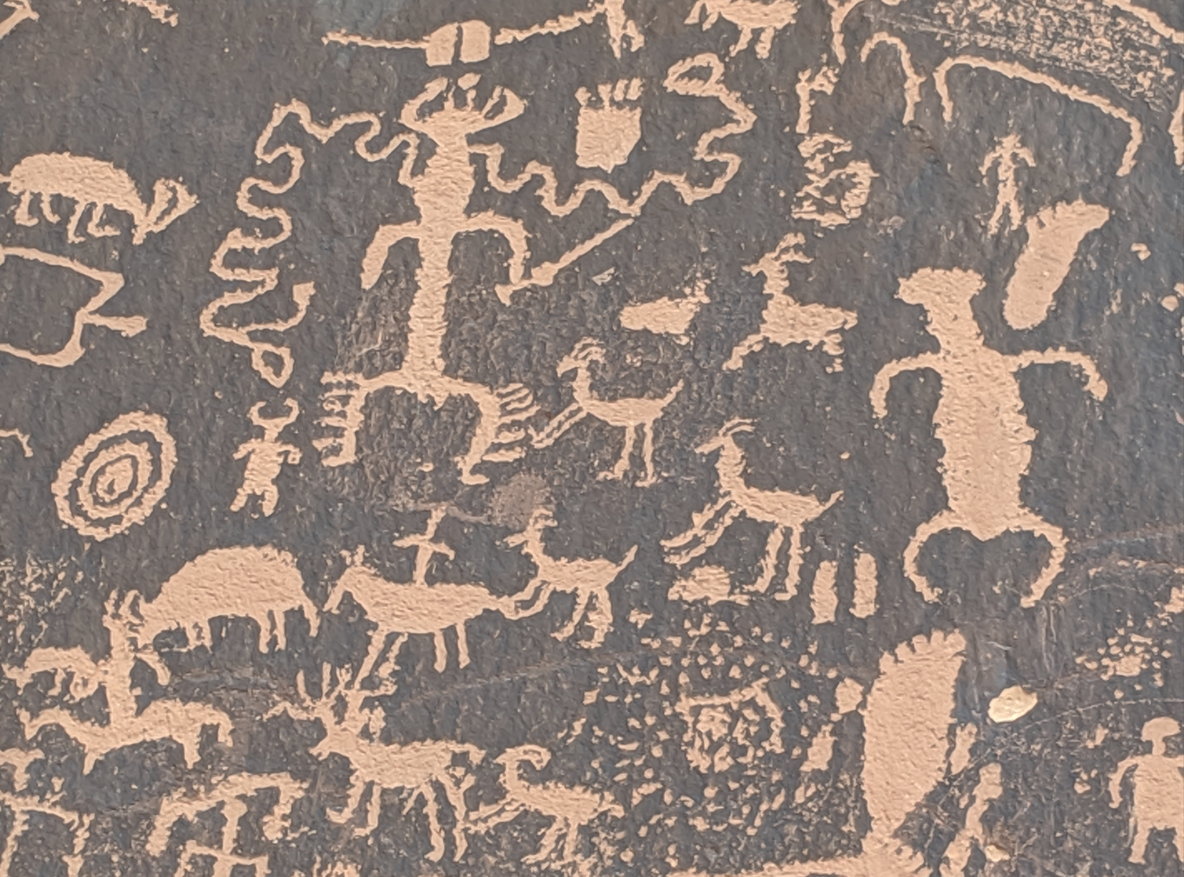
The next checkpoint would have been Newspaper Rock, but given the late hour, I decided to pass that one by. Newspaper Rock is located quite a distance south of Moab, along UT-211 which leads to the Needles District of Canyonlands National Park. In fact, it is closer to Monticello, where the Loyds Lake checkpoint was located. I visited this site in 2019.
Newspaper Rock is a large rock of petroglyphs, and is named due to the community nature of the drawings–“rock that tells a story,” in other words, based on its Navajo name Tse’ Hane’.
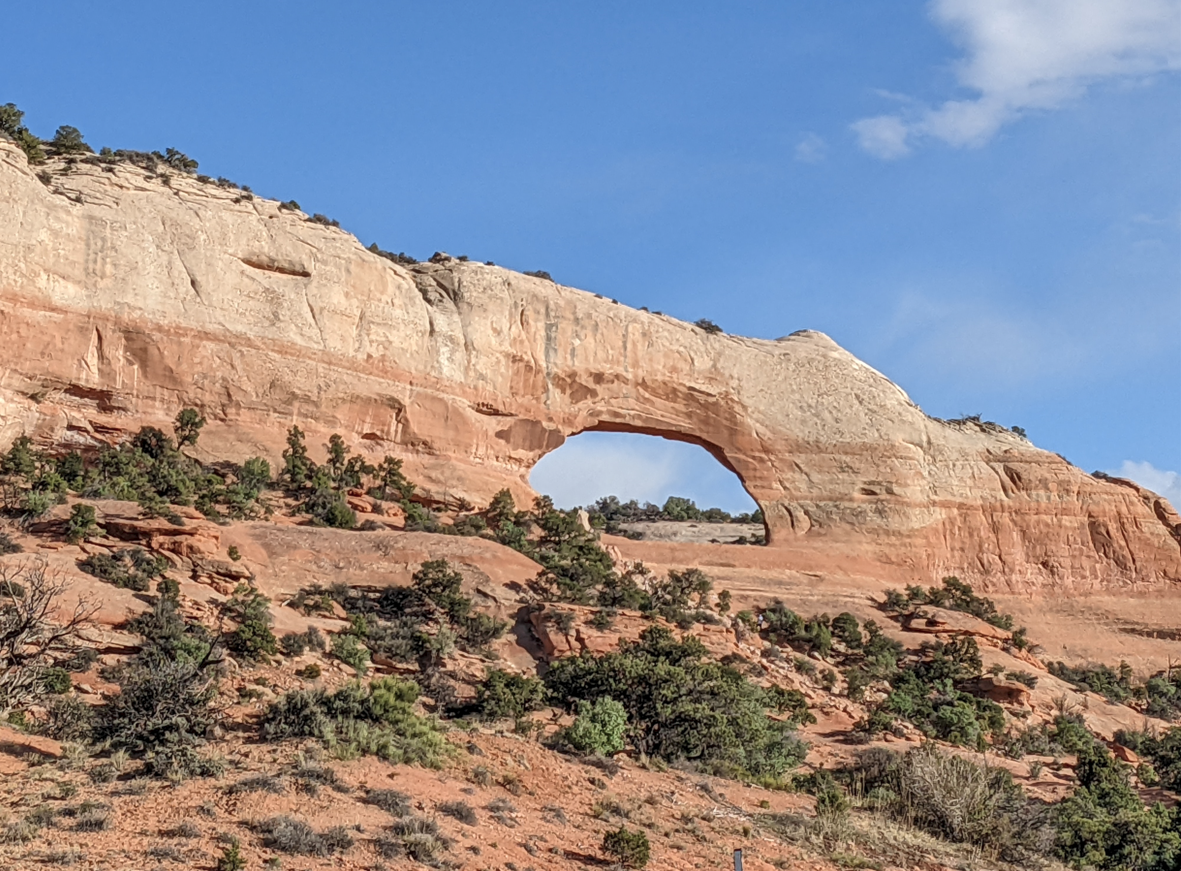
Two final checkpoints that were not out of my way, by much, were Wilson Arch, one of over 2,000 documented arches in Utah…
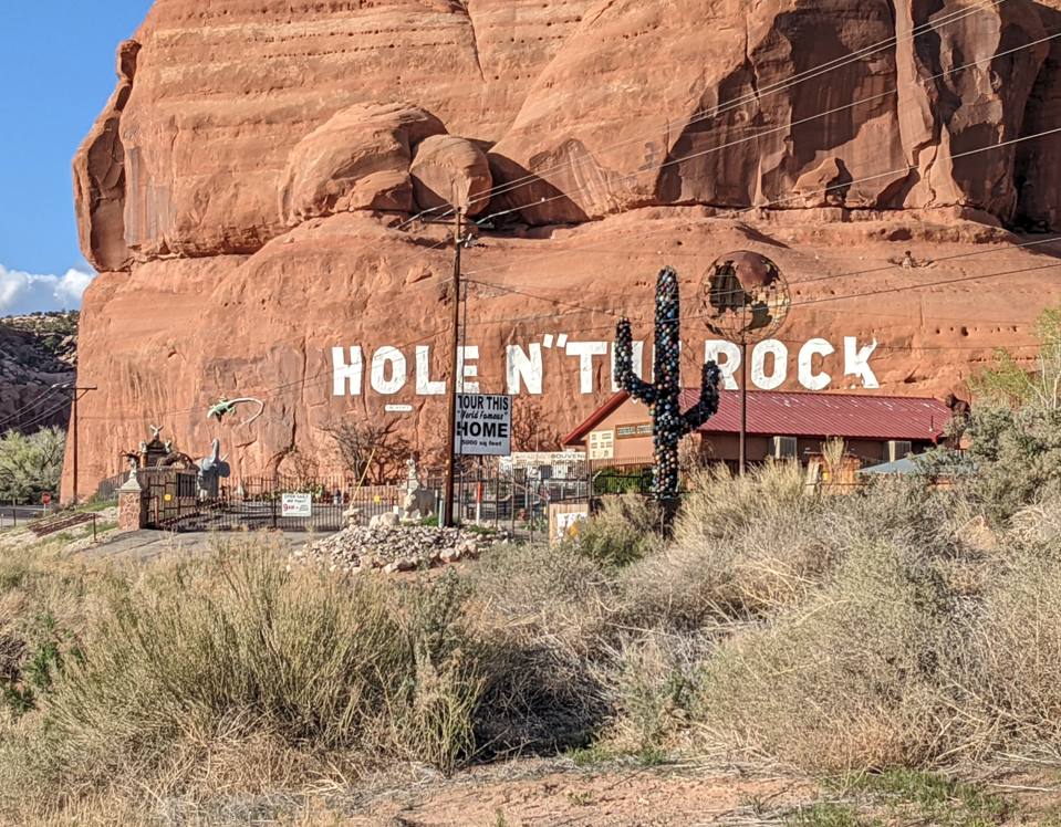
…and the tourist attraction Hole ‘n the Rock, reportedly a 5,000 square foot home built into the side of the rock:
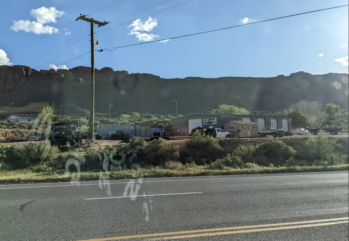
Upon entering Moab, a glance over at Moab Motorsports turned up empty–Trail Mater apparently was in the shop, or out on a recovery.
If you don’t know who/what Trail Mater is:
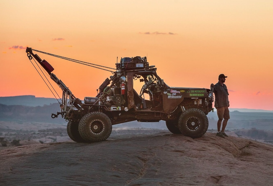
Rory Irish is who you want to call if you get stuck in a predicament, break an axle, or roll your 4×4 in the Moab area. Trail Mater is more than a mere tow truck. It is a full-blown, 4×4 recovery rig with multiple winches front, side and rear. Rory also carries tools and welding equipment for trailside repairs. Trail Mater can scale any of the offroad trails like Hell’s Revenge without breaking a sweat, and Rory knows those trails from traveling them regularly for recoveries. Moab Motorsports has other specialized recovery vehicles, but Trail Mater is the best known.
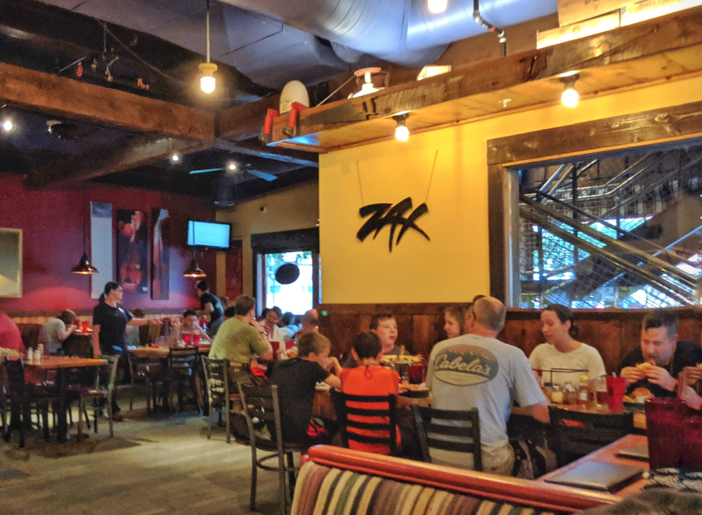
Safely in Moab for the evening, I checked into the Adventure Inn (solely due to it being $60/night less expensive than the La Quinta I usually stay at–this is, after all, high season in Moab on a Saturday night). After making the rounds of a few shops I usually visit, I stopped at Zax Restaurant for a burger before heading back to the motel to prepare for the last day of the rally.
There were two things working against us reaching the day’s checkpoints. First, we lost an hour traveling from Arizona into Utah. And we lost another hour and 50 minutes taking the detour through Grand Canyon National Park.
However, the rally instructions make it clear that most of us will not reach all the checkpoints, and that is expected. It’s up to us to decide which of the checkpoints we want to locate and make the most efficient use of time to gain the most points. The over-achievers will be able to do it, but I will have some thoughts on that in the final rally day’s notes.